
Podolí-východ
(Podolí-východ · Podolí-východ · Grosspoidl)village · Mohelnice · AD MEP Mohelnice · Olomouc Region
Postcode (PSC): 78901 (Zábřeh)
Overview
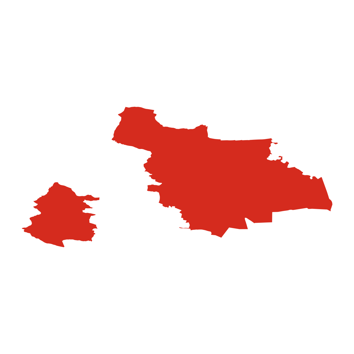
12 nearby places · 7 sub-districtsPodolí-východ is a village in the municipality of Mohelnice, district AD MEP Mohelnice. Click a sub-district on the map to explore it. Population: 304. Postcode: 78901.
Maps & Downloads
SVG and PNG


Postcodes (PSC)
7 postcode zones within MohelniceMunicipal seat of Mohelnice, covers 46 km²: postcode zones 78901, 57101, 78985, 78983, 78973, 78972, 78982. Combined population: 88 088 · 21 512 buildings.
city.postcodes_click_hint
| city.col_code | Name | city.col_population | city.col_buildings | Area | |
|---|---|---|---|---|---|
| 57101 CITY | Moravská Třebová | 16 607 | 3 734 | 165.9 km² | View → |
| 78901 CITY | Zábřeh | 26 551 | 7 605 | 229.8 km² | View → |
| 78972 CITY | Dubicko | 1 536 | 561 | 11.8 km² | View → |
| 78973 CITY | Úsov | 2 542 | 973 | 39.8 km² | View → |
| 78982 CITY | Moravičany | 1 192 | 504 | 12.2 km² | View → |
| 78983 CITY | Loštice | 3 682 | 1 111 | 17.4 km² | View → |
| 78985 CITY | Mohelnice | 11 011 | 2 689 | 80.0 km² | View → |
Post Offices & Postal Services
31 city.postal_facilitiescity.postal_prose_has city.postal_facilities: 2 post offices, 18 post boxes, 11 parcel lockers.
Public Transport
4 stops within MohelniceExplore public transport routes passing through or near Podolí-východ.
Click a route to see details. Zoom in to explore individual stops.
Coat of Arms & Flag
Coat of arms & FlagThe official symbols of Podolí-východ - its coat of arms and flag - appear on government documents and are used across the Czech Republic.



City Rankings
Compared to 10309 cities nationwidePodolí-východ ranks 3775th by population (of 10309), 8929th by area (of 10530), 6805th by buildings (of 10641) among Czech cities.
Frequently Asked Questions about Podolí-východ
Quick answers for this placeWhich region is Podolí-východ in?
Podolí-východ is located in the region. Olomouc Region, district AD MEP Mohelnice.
What is the postcode (PSC) of Podolí-východ?
Podolí-východ has 7 postcode zones: 78901, 57101, 78985, 78983, 78973, 78972, 78982. Czech postcodes are 5 digits.
How many people live in Podolí-východ?
Podolí-východ has a population of 304 residents.
What is the elevation of Podolí-východ?
Elevation data for Podolí-východ is not currently available.
Which district is Podolí-východ in?
Podolí-východ is located in the AD MEP Mohelnice district, in the Olomouc Region.
Where is the nearest post office to Podolí-východ?
Podolí-východ has 31 postal facilities, including 2 post offices, 18 post boxes, and 11 parcel lockers. The nearest post office is Mohelnice.
What public transport stops are near Podolí-východ?
There are 4 stops public transport stops near Podolí-východ. The closest stops include stop-11399241400, stop-11936238743, stop-11938845321.