SO Praha 9
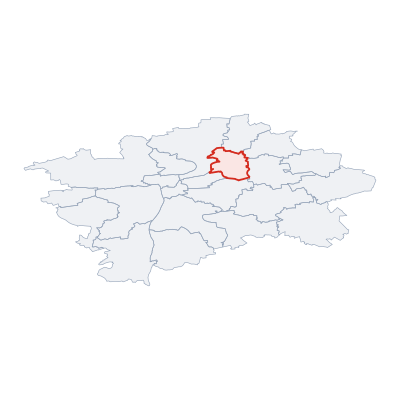
(SO Praha 9 · SO Praha 9 · Verwaltungsbezirk Prag 9)District (okres) of the Czech Republic · Prague
Cities & Towns
4 places totalSO Praha 9 covers 13 km². The district has a population of 15 361, with a density of 1 155 people per km². The largest city by population is Prosek (15 361 residents).
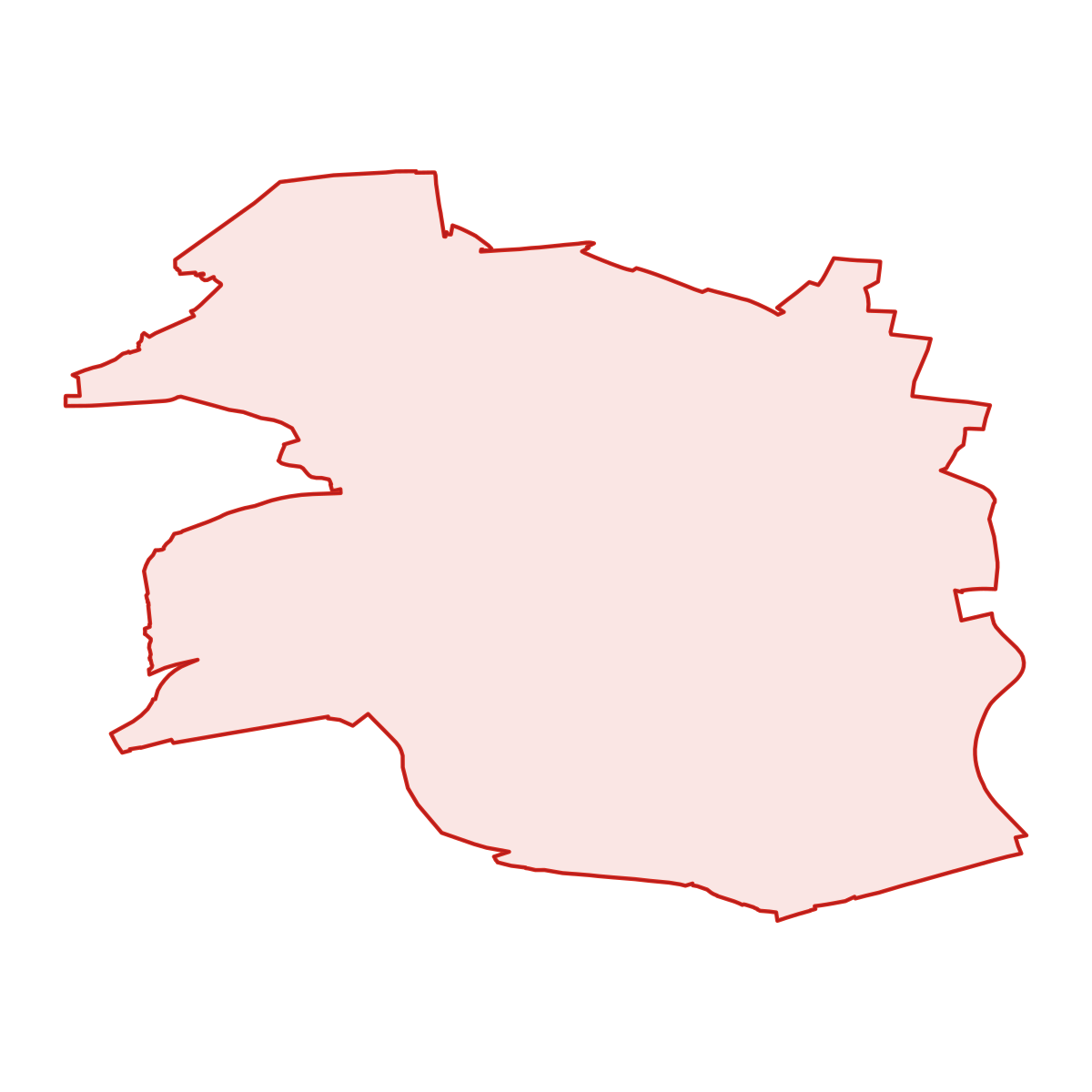
District Maps
SVG and PNG downloads

Postcodes
7 postcodesSO Praha 9 has 7 postcode areas covering 108 km² with 27 610 buildings. SO Praha 9 uses 1 - postcodes in SO Praha 9 start with (this zone). The postcode with the most buildings is 19800 (Hloubětín) (4 635 buildings).
| # | Code / Name | Population | Area | Buildings | |
|---|---|---|---|---|---|
| 1 | 19000 | 16 572 | 11.98 km² | 3 561 | View → |
| 2 | 19800 | 8 462 | 29.61 km² | 4 635 | View → |
| 3 | 18000 | 5 966 | 4.31 km² | 1 613 | View → |
| 4 | 16200 | 1 336 | 4.68 km² | 2 767 | View → |
| 5 | 11800 | 874 | 3.06 km² | 1 198 | View → |
| 6 | 190 00 | 30 | 0.11 km² | 26 | View → |
| 7 | 19093 | 2 | 0.01 km² | 5 | View → |
district.postal_prose
Transport
8 lines across 16 routesClick a route on the map to see details. Zoom in to explore individual stops.
SO Praha 9 has a public transport network of 232.4 km with 8 transit lines and 16 routes. It is served by 4 operators.
Full transport overviewSymbols
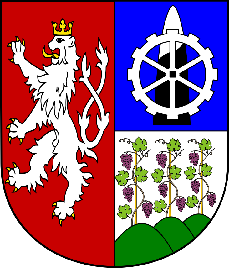
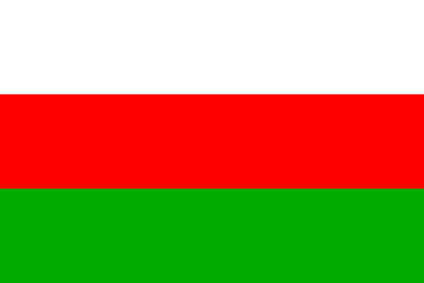
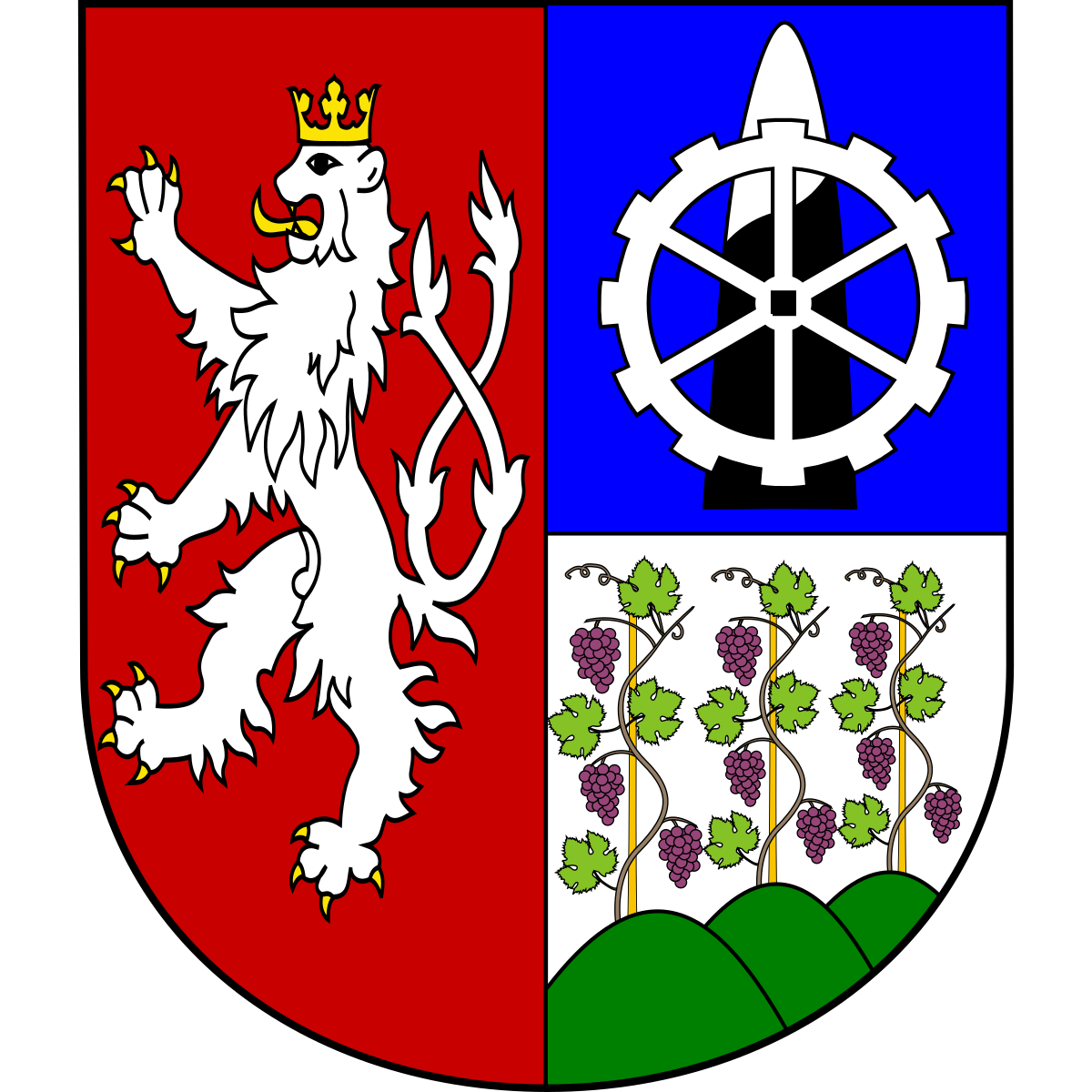
Coat of Arms & FlagThe official symbols of SO Praha 9 include the coat of arms and flag, which appear on government documents and are recognised across the Czech Republic.


Frequently Asked Questions about SO Praha 9
Quick answers about this districtWhat is the main town of SO Praha 9?
SO Praha 9 does not have a designated main town.
Which region does SO Praha 9 belong to?
SO Praha 9 is a district within the Prague region.
Is SO Praha 9 a district or a city?
SO Praha 9 is an administrative district (okres) of the Czech Republic within the Prague region.
How many people live in SO Praha 9?
SO Praha 9 has a population of 15 361, with a density of 1 155 residents per km².
How large is SO Praha 9?
SO Praha 9 covers an area of 13 km² (5 sq mi).
What postcodes (PSC) are in SO Praha 9?
SO Praha 9 has 7 postcode areas (PSC zones). Postcodes use the prefix 1.
How many buildings are in SO Praha 9?
SO Praha 9 contains 8 243 buildings, a density of 620 buildings per km².