Cities & Towns
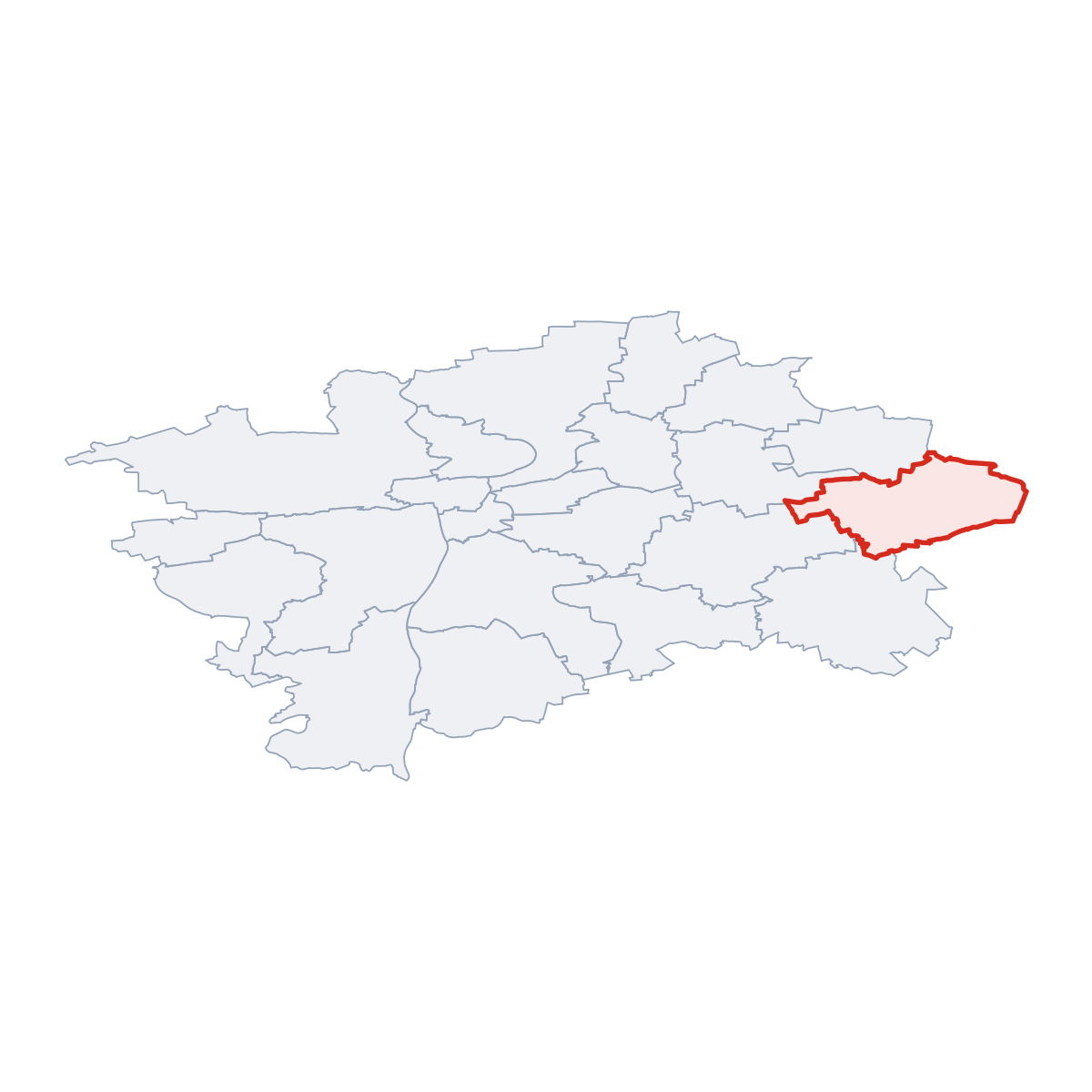
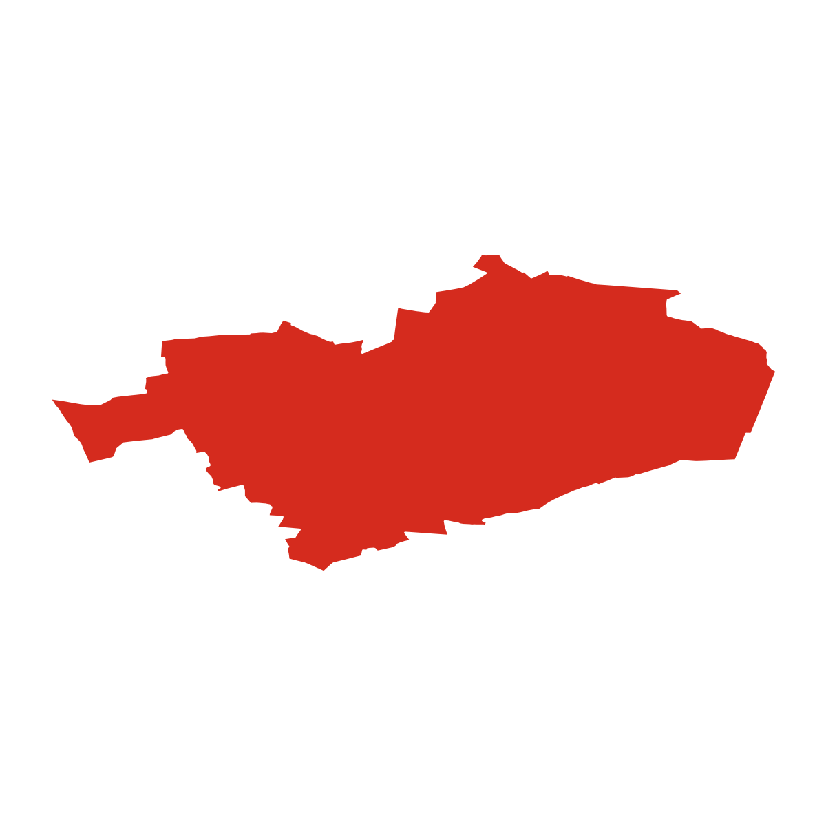
4 places totalSO Praha 21 covers 27 km². The main town is Klánovice.
District Maps
SVG and PNG downloads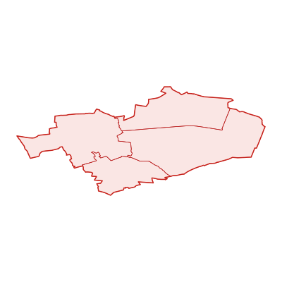
Postcodes
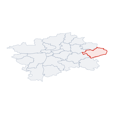
5 postcodesSO Praha 21 has 5 postcode areas covering 244 km² with 27 121 buildings. SO Praha 21 uses s 1, 2 - postcodes in SO Praha 21 start with (these zones). The postcode with the most buildings is 19800 (Hloubětín) (4 635 buildings).
| # | Code / Name | Population | Area | Buildings | |
|---|---|---|---|---|---|
| 1 | 19800 | 8 462 | 29.61 km² | 4 635 | View → |
| 2 | 25092 | 1 280 | 5.42 km² | 1 508 | View → |
| 3 | 19016 | - | 42.22 km² | 3 587 | View → |
| 4 | 19014 | - | 9.98 km² | 1 396 | View → |
| 5 | 19011 | - | 13.84 km² | 641 | View → |
district.postal_prose
Transport
5 lines across 10 routesClick a route on the map to see details. Zoom in to explore individual stops.
SO Praha 21 has a public transport network of 70.1 km with 5 transit lines and 10 routes. It is served by 2 operators.
Full transport overviewSymbols
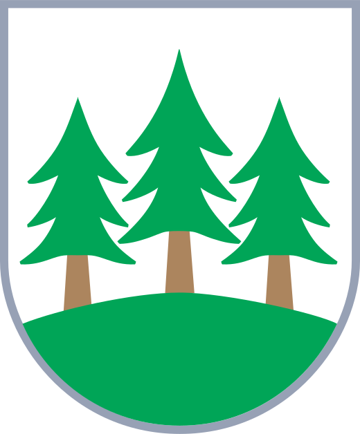
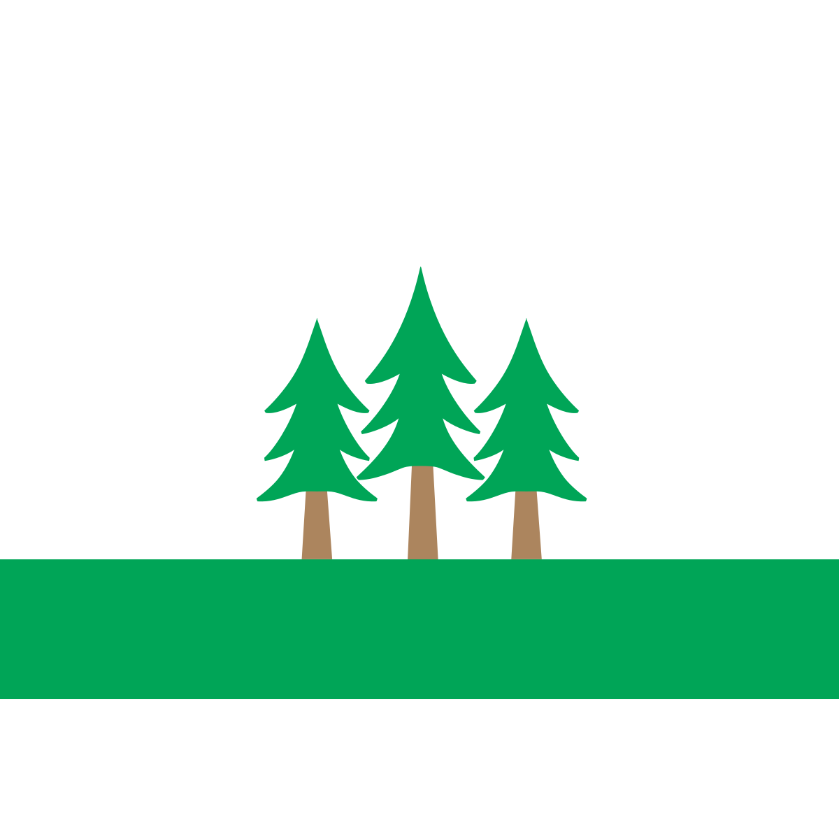
Coat of Arms & FlagThe official symbols of SO Praha 21 include the coat of arms and flag, which appear on government documents and are recognised across the Czech Republic.

Frequently Asked Questions about SO Praha 21
Quick answers about this districtWhat is the main town of SO Praha 21?
The main town of SO Praha 21 is Klánovice.
Which region does SO Praha 21 belong to?
SO Praha 21 is a district within the Prague region.
Is SO Praha 21 a district or a city?
SO Praha 21 is an administrative district (okres) of the Czech Republic within the Prague region. Its main town is Klánovice.
How many people live in SO Praha 21?
Population data for SO Praha 21 is not currently available.
How large is SO Praha 21?
SO Praha 21 covers an area of 27 km² (10 sq mi).
What postcodes (PSC) are in SO Praha 21?
SO Praha 21 has 5 postcode areas (PSC zones). Postcodes use the prefix 1, 2.
How many buildings are in SO Praha 21?
SO Praha 21 contains 13 407 buildings, a density of 504 buildings per km².