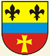
Coat of arms of Lužany, Hradec Králové Region

Lužany

(Lužany · Lužany · Luschan)

village · SO ORP Hradec Králové · Hradec Králové Region

Capital of Lužany (municipality)

Postcode (PSC): 54401 (Dvůr Králové nad Labem)

122
Population
9
Postal points

Overview

12 nearby places

Maps & Downloads

SVG and PNG
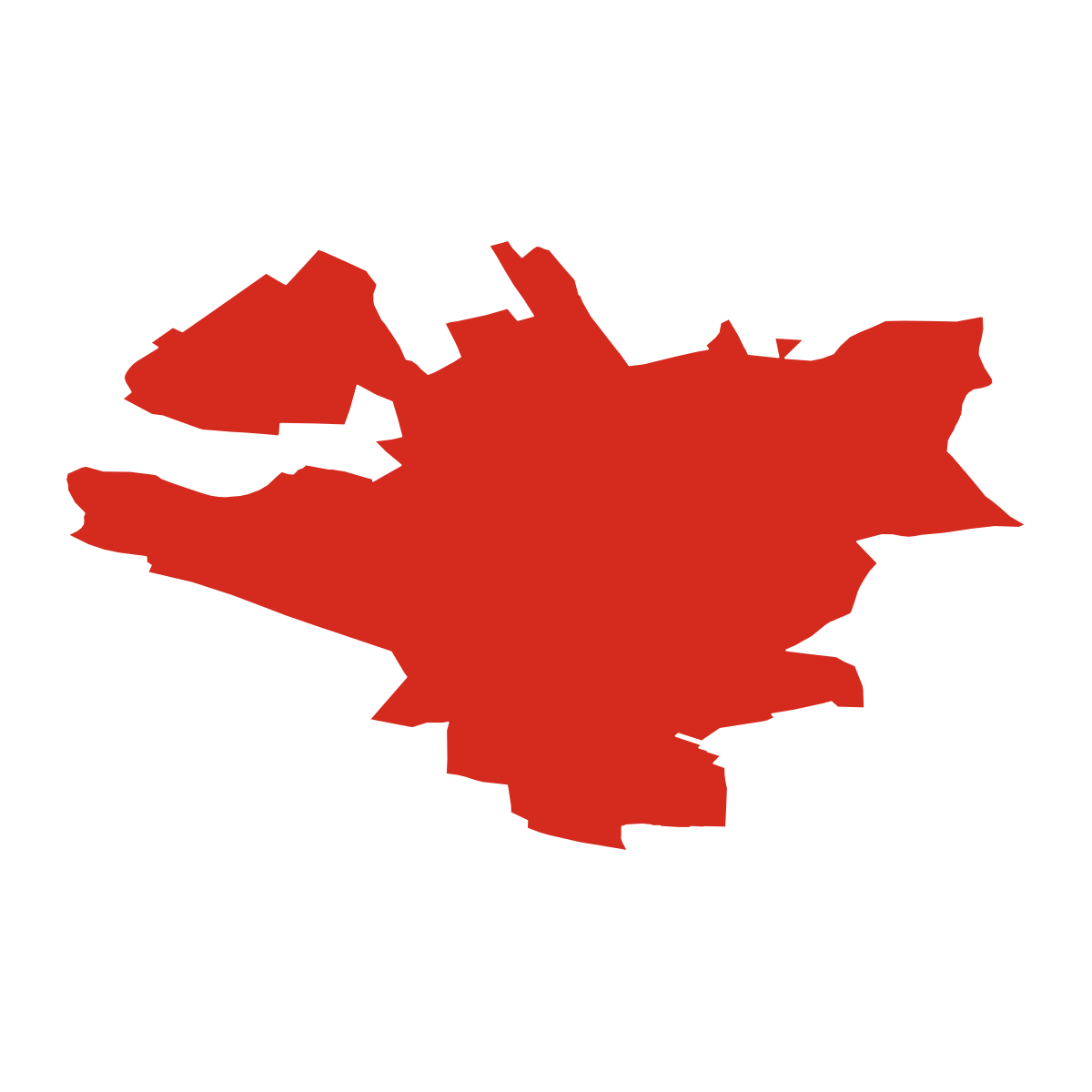
Lužany - boundary

Lužany - boundary

City boundary outline

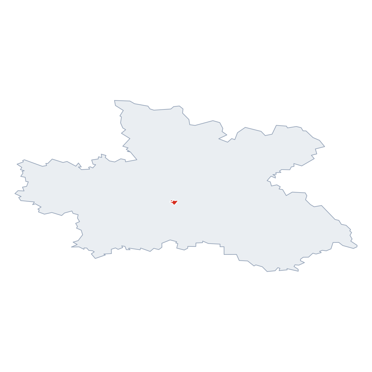
Lužany - in region

Lužany - in region

Location within the region

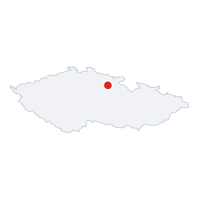
Lužany - in Czech Republic

Lužany - in Czech Republic

Location within the Czech Republic

Postcodes (PSC)

4 postcode zones within Lužany

Municipal seat of Lužany, covers 3 km²: postcode zones 54401, 50303, 55211, 50305. Combined population: 136 · 62 buildings.

54401
city.kpi_primary_postcode
6 071
Buildings
23 278
Population
144.5 km²
Area
161/km²
city.kpi_density
4
city.kpi_zones
city.legend_city_postcodes
city.legend_district_context
Lužany

city.postcodes_click_hint

city.district_postcodes_title 4 city.kpi_zones
city.col_code Name city.col_population city.col_buildings Area
50303 CITY Smiřice 7 593 2 486 73.1 km² View →
50305 CITY Lužany 136 62 3.4 km² View →
54401 CITY Dvůr Králové nad Labem 23 278 6 071 144.5 km² View →
55211 CITY Velichovky 747 294 8.0 km² View →

Post Offices & Postal Services

9 city.postal_facilities

city.postal_prose_has city.postal_facilities:, 9 post boxes.

50382:122, 2852, Lhota, Lužany, okres Hradec Králové, Hradec Králové Region, 503 05
2852, Jeřičky, Žíželeves, Hořiněves, okres Hradec Králové, Hradec Králové Region, 503 05 2489 m
50382:113, 2852, Koutecký mlýn, Račice nad Trotinou, okres Hradec Králové, Hradec Králové Region, 503 05 2690 m
55100:15, 2857, Hustířany, Velichovky, okres Náchod, Hradec Králové Region, 552 11 3020 m
54400:23, 285, Chotěborky, Vilantice, okres Trutnov, Hradec Králové Region, 544 55 3238 m
50382:118, 325, Hořiněves, okres Hradec Králové, Hradec Králové Region, 503 06 3731 m
50382:116, 325, Vrchovnice, okres Hradec Králové, Hradec Králové Region, 503 06 4053 m
50382:120, 2857, Habřina, okres Hradec Králové, Hradec Králové Region, 552 11 4239 m
50382:117, 32535, Želkovice, Žíželeves, Hořiněves, Cerekvice nad Bystřicí, okres Hradec Králové, Hradec Králové Region, 544 54 4760 m

Public Transport

0 stops within Lužany

Explore public transport routes passing through or near Lužany.

Click a route to see details. Zoom in to explore individual stops.


Coat of Arms & Flag

Coat of arms & Flag

The official symbols of Lužany - its coat of arms and flag - appear on government documents and are used across the Czech Republic.

Coat of arms of Lužany, Hradec Králové Region

Coat of Arms

Source: Wikimedia Commons


City Rankings

Compared to 10309 cities nationwide

Lužany ranks 6927th by population (of 10309), 9456th by area (of 10530), 9664th by buildings (of 10641) among Czech cities.

Population
6927th of 10309
122
Area
9456th of 10530
3.4 km²
Buildings
9664th of 10641
190
Population
522th of 748
122
Area
662th of 758
3.4 km²
Buildings
715th of 758
190

Frequently Asked Questions about Lužany

Quick answers for this place
Which region is Lužany in?

Lužany is located in the region. Hradec Králové Region, district SO ORP Hradec Králové.

What is the postcode (PSC) of Lužany?

Lužany has 4 postcode zones: 54401, 50303, 55211, 50305. Czech postcodes are 5 digits.

How many people live in Lužany?

Lužany has a population of 122 residents.

What is the elevation of Lužany?

Elevation data for Lužany is not currently available.

Which district is Lužany in?

Lužany is located in the SO ORP Hradec Králové district, in the Hradec Králové Region.

Is Lužany a regional or district capital?

Yes, Lužany serves as the capital of Lužany (municipality) .

Where is the nearest post office to Lužany?

Lužany has 9 postal facilities, 9 post boxes.