
Lhota u Olešnice
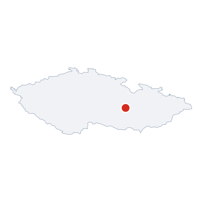
(Lhota u Olešnice · Lhota u Olešnice)village · AD MEP Boskovice · South Moravian Region
Postcode (PSC): 59301 (Bystřice nad Pernštejnem)
Overview
12 nearby placesLhota u Olešnice is a village, district AD MEP Boskovice. Population: 37. Postcode: 59301.
Maps & Downloads
SVG and PNG

Postcodes (PSC)
4 postcode zones within Lhota u OlešniceMunicipal seat of Lhota u Olešnice, covers 2 km²: postcode zones 59301, 67974, 59265, 59264. Combined population: 2 616 · 1 152 buildings.
city.postcodes_click_hint
Post Offices & Postal Services
21 city.postal_facilitiescity.postal_prose_has city.postal_facilities: 3 post offices, 16 post boxes, 2 parcel lockers.
Public Transport
0 stops within Lhota u OlešniceExplore public transport routes passing through or near Lhota u Olešnice.
Click a route to see details. Zoom in to explore individual stops.
Coat of Arms & Flag
Coat of arms & FlagThe official symbols of Lhota u Olešnice - its coat of arms and flag - appear on government documents and are used across the Czech Republic.




City Rankings
Compared to 10309 cities nationwideLhota u Olešnice ranks 10088th by population (of 10309), 10146th by area (of 10530), 10212th by buildings (of 10641) among Czech cities.
Frequently Asked Questions about Lhota u Olešnice
Quick answers for this placeWhich region is Lhota u Olešnice in?
Lhota u Olešnice is located in the region. South Moravian Region, district AD MEP Boskovice.
What is the postcode (PSC) of Lhota u Olešnice?
Lhota u Olešnice has 4 postcode zones: 59301, 67974, 59265, 59264. Czech postcodes are 5 digits.
How many people live in Lhota u Olešnice?
Lhota u Olešnice has a population of 37 residents.
What is the elevation of Lhota u Olešnice?
Elevation data for Lhota u Olešnice is not currently available.
Which district is Lhota u Olešnice in?
Lhota u Olešnice is located in the AD MEP Boskovice district, in the South Moravian Region.
Is Lhota u Olešnice a regional or district capital?
Yes, Lhota u Olešnice serves as the capital of Lhota u Olešnice (municipality) .
Where is the nearest post office to Lhota u Olešnice?
Lhota u Olešnice has 21 postal facilities, including 3 post offices, 16 post boxes, and 2 parcel lockers. The nearest post office is Prosetín (~2257 m away).