Ježov

(Ježov · Ježov)

village · AD MEP Humpolec · Vysočina Region

Capital of Ježov (municipality)

Postcode (PSC): 39601 (Humpolec)

65
Population
13
Postal points

Overview

12 nearby places

Maps & Downloads

SVG and PNG
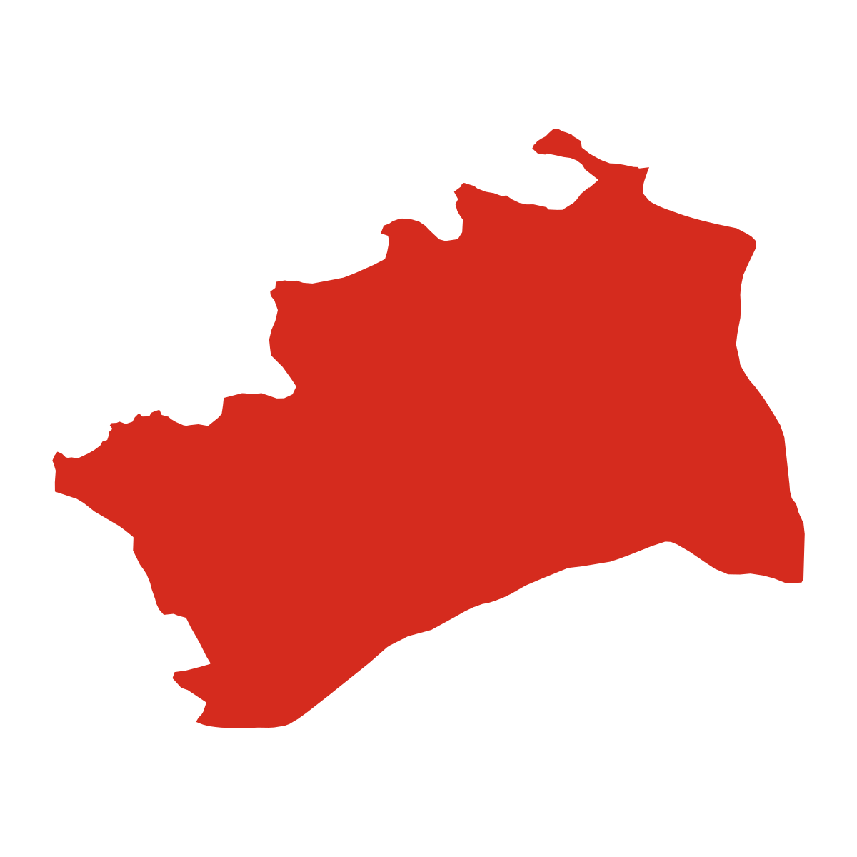
Ježov - boundary

Ježov - boundary

City boundary outline

Ježov - in region

Ježov - in region

Location within the region

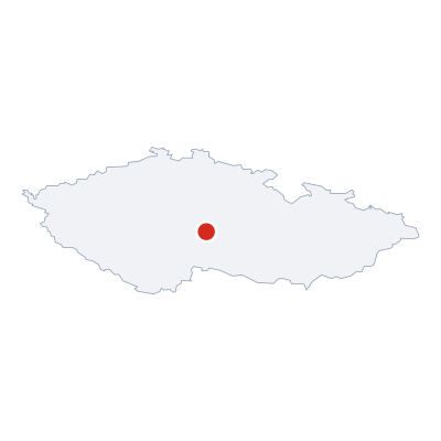
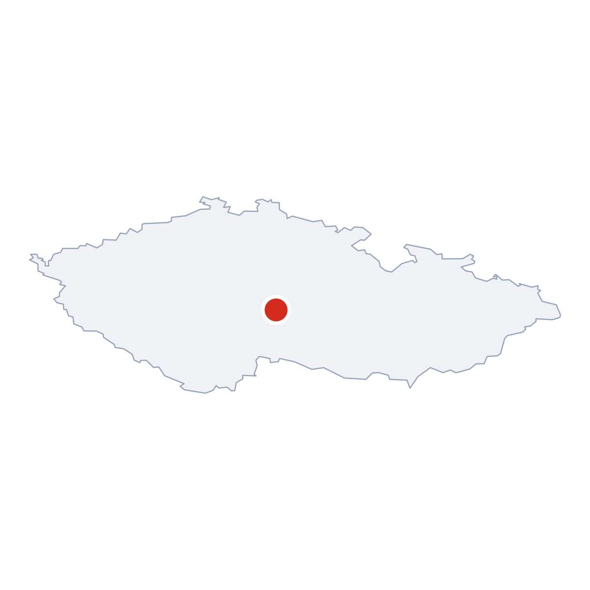
Ježov - in Czech Republic

Ježov - in Czech Republic

Location within the Czech Republic

Postcodes (PSC)

3 postcode zones within Ježov

Municipal seat of Ježov, covers 3 km²: postcode zones 39601, 58401, 25768. Combined population: 19 743 · 6 766 buildings.

39601
city.kpi_primary_postcode
6 766
Buildings
19 743
Population
194.4 km²
Area
102/km²
city.kpi_density
3
city.kpi_zones
city.legend_city_postcodes
city.legend_district_context
Ježov

city.postcodes_click_hint

city.district_postcodes_title 3 city.kpi_zones
city.col_code Name city.col_population city.col_buildings Area
25768 CITY Dolní Kralovice 1 913 967 67.5 km² View →
39601 CITY Humpolec 19 743 6 766 194.4 km² View →
58401 CITY Ledeč nad Sázavou 10 870 4 029 153.8 km² View →

Post Offices & Postal Services

13 city.postal_facilities

city.postal_prose_has city.postal_facilities:, 13 post boxes.

39600:30, 13035, Vranice, Píšť, Ježov, okres Pelhřimov, Vysočina Region, 394 56
25800:33, 13020, Snět, okres Benešov, Central Bohemian Region, 257 68 1680 m
39600:74, 12930, Vojslavice, okres Pelhřimov, Vysočina Region, 394 59 2091 m
39600:28, 13035, Vranice, Píšť, okres Pelhřimov, Vysočina Region, 394 56 2447 m
25800:34, 13019, Dolní Rápotice, Šetějovice, okres Benešov, Central Bohemian Region, 582 93 2808 m
39600:27, 13035, Vranice, Píšť, okres Pelhřimov, Vysočina Region, 394 56 3621 m
25800:35, 13019, Dolní Rápotice, Šetějovice, okres Benešov, Central Bohemian Region, 582 93 3783 m
25800:32, 13022, Vítonice, Blažejovice, okres Benešov, Central Bohemian Region, 257 68 3791 m
39600:62, 130, Hojanovice, okres Pelhřimov, Vysočina Region, 394 59 3982 m
39600:56, 13035, Hroznětice, Hořice, okres Pelhřimov, Vysočina Region, 394 56 4223 m
39600:58, 12939, Otavožaty, Senožaty, okres Pelhřimov, Vysočina Region, 394 56 4430 m
25800:36, 13021, Šetějovice, okres Benešov, Central Bohemian Region, 257 68 4528 m
39600:57, 13028, Děkančice, Hořice, okres Pelhřimov, Vysočina Region, 394 56 4690 m

Public Transport

0 stops within Ježov

Explore public transport routes passing through or near Ježov.

Click a route to see details. Zoom in to explore individual stops.


City Rankings

Compared to 10309 cities nationwide

Ježov ranks 9155th by population (of 10309), 9693th by area (of 10530), 10392th by buildings (of 10641) among Czech cities.

Population
9155th of 10309
65
Area
9693th of 10530
3.0 km²
Buildings
10392th of 10641
107
Population
918th of 1060
65
Area
978th of 1085
3.0 km²
Buildings
1048th of 1085
107

Frequently Asked Questions about Ježov

Quick answers for this place
Which region is Ježov in?

Ježov is located in the region. Vysočina Region, district AD MEP Humpolec.

What is the postcode (PSC) of Ježov?

Ježov has 3 postcode zones: 39601, 58401, 25768. Czech postcodes are 5 digits.

How many people live in Ježov?

Ježov has a population of 65 residents.

What is the elevation of Ježov?

Elevation data for Ježov is not currently available.

Which district is Ježov in?

Ježov is located in the AD MEP Humpolec district, in the Vysočina Region.

Is Ježov a regional or district capital?

Yes, Ježov serves as the capital of Ježov (municipality) .

Where is the nearest post office to Ježov?

Ježov has 13 postal facilities, 13 post boxes.