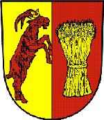
Heřmanice
(Heřmanice · Heřmanice · Hermitz)village · Starý Jičín · AD MEP Nový Jičín · Moravian-Silesian Region
Postcode (PSC): 74101 (Nový Jičín)
Overview
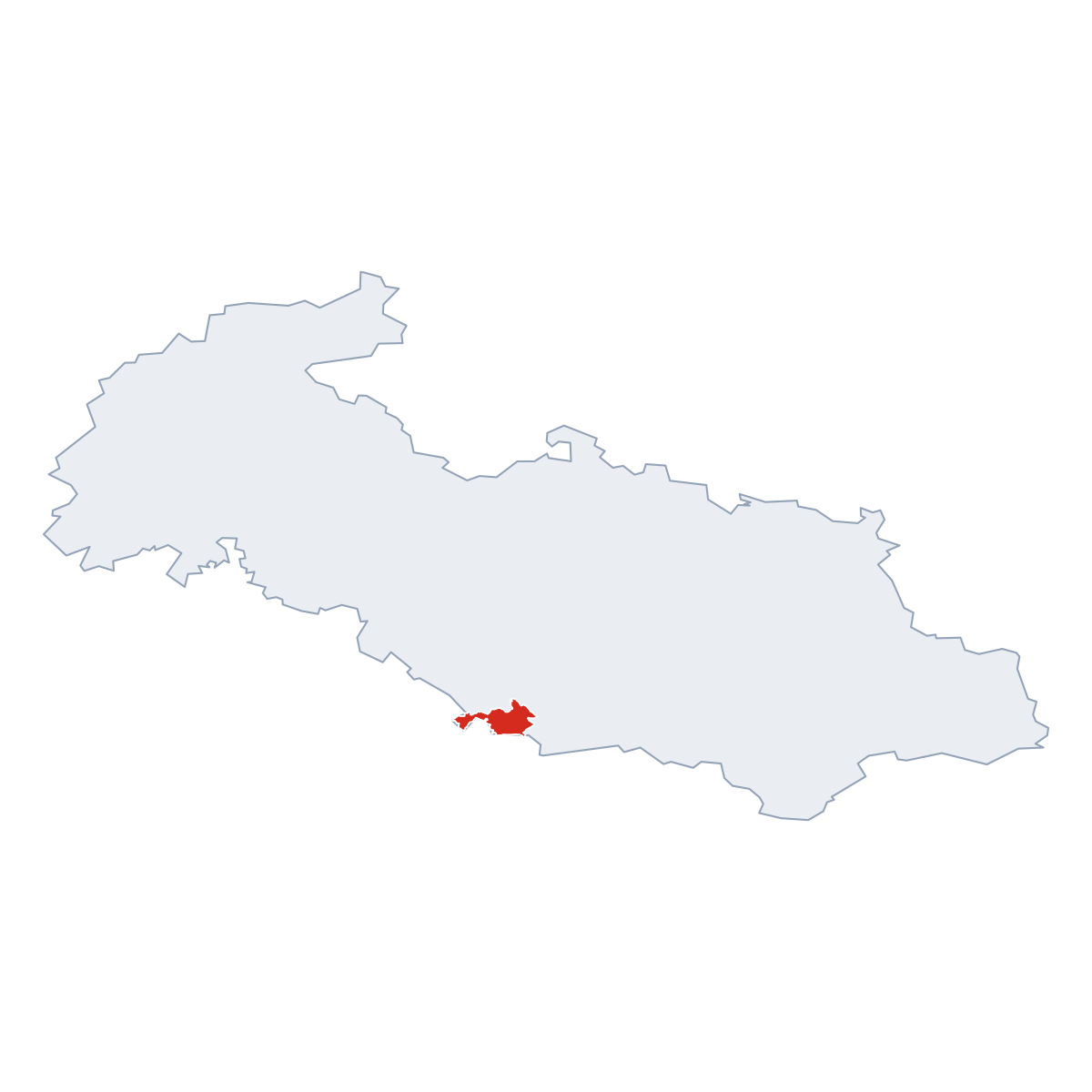
6 quartersHeřmanice is a quarter of Starý Jičín, district AD MEP Nový Jičín. It covers roughly 4.0 km². Click a quarter on the map to explore it. Population: 98. Postcode: 74101.
Maps & Downloads
SVG and PNG


Postcodes (PSC)
5 postcode zones within Starý JičínMunicipal seat of Starý Jičín, covers 34 km²: postcode zones 74101, 75641, 75366, 74231, 75365. Combined population: 247 616 · 41 038 buildings.
city.postcodes_click_hint
Post Offices & Postal Services
11 city.postal_facilitiescity.postal_prose_has city.postal_facilities: 2 post offices, 9 post boxes.
Public Transport
0 stops within Starý JičínExplore public transport routes passing through or near Heřmanice.
Click a route to see details. Zoom in to explore individual stops.
Coat of Arms & Flag
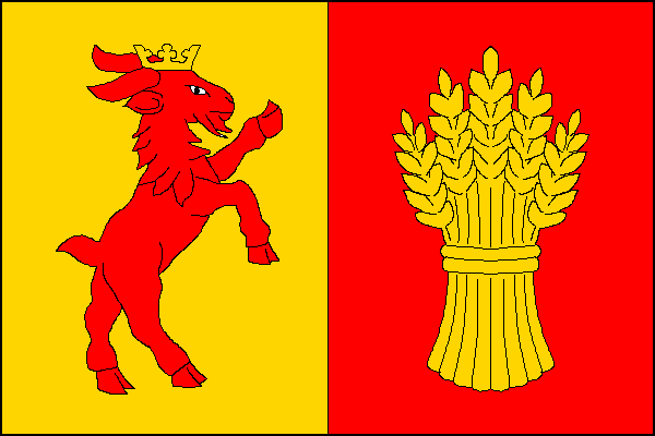
Coat of arms & FlagThe official symbols of Heřmanice - its coat of arms and flag - appear on government documents and are used across the Czech Republic.


City Rankings
Compared to 10309 cities nationwideHeřmanice ranks 7732th by population (of 10309), 8982th by area (of 10530), 10211th by buildings (of 10641) among Czech cities.
Frequently Asked Questions about Heřmanice
Quick answers for this placeWhich region is Heřmanice in?
Heřmanice is located in the region. Moravian-Silesian Region, district AD MEP Nový Jičín.
What is the postcode (PSC) of Heřmanice?
Heřmanice has 5 postcode zones: 74101, 75641, 75366, 74231, 75365. Czech postcodes are 5 digits.
How many people live in Heřmanice?
Heřmanice has a population of 98 residents.
What is the elevation of Heřmanice?
Elevation data for Heřmanice is not currently available.
Which district is Heřmanice in?
Heřmanice is located in the AD MEP Nový Jičín district, in the Moravian-Silesian Region.
Is Heřmanice a regional or district capital?
Yes, Heřmanice serves as the capital of Heřmanice .
Where is the nearest post office to Heřmanice?
Heřmanice has 11 postal facilities, including 2 post offices, 9 post boxes. The nearest post office is Polom (~2914 m away).