
Adršpach
(Adršpach · Adršpach · Adersbach)village · AD MEP Broumov · Hradec Králové Region
Postcode (PSC): 54957 (Teplice nad Metují)
Overview
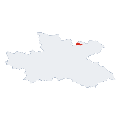
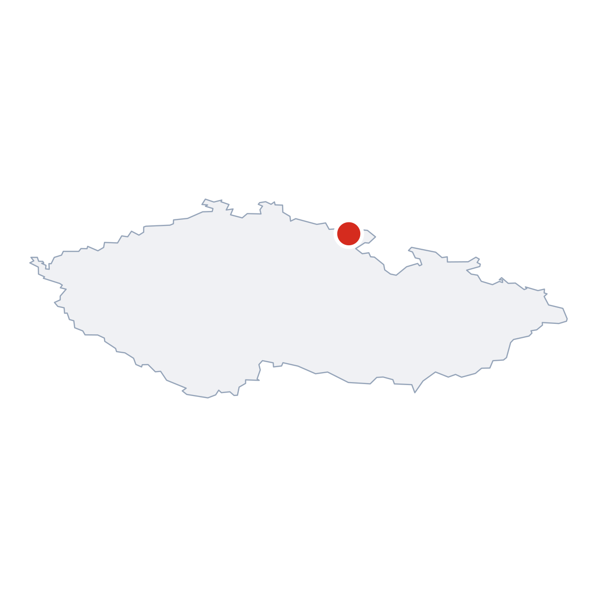
12 nearby placesAdršpach is a village, district AD MEP Broumov. Population: 130. Postcode: 54957.
Maps & Downloads
SVG and PNG

Postcodes (PSC)
5 postcode zones within AdršpachMunicipal seat of Adršpach, covers 20 km²: postcode zones 54957, 54213, 54211, 58-420, 54952. Combined population: 2 213 · 1 061 buildings.
city.postcodes_click_hint
Post Offices & Postal Services
6 city.postal_facilitiescity.postal_prose_has city.postal_facilities: 1 post office, 4 post boxes, 1 parcel locker.
Public Transport
2 stops within AdršpachExplore public transport routes passing through or near Adršpach.
Click a route to see details. Zoom in to explore individual stops.
Coat of Arms & Flag
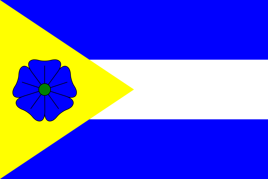
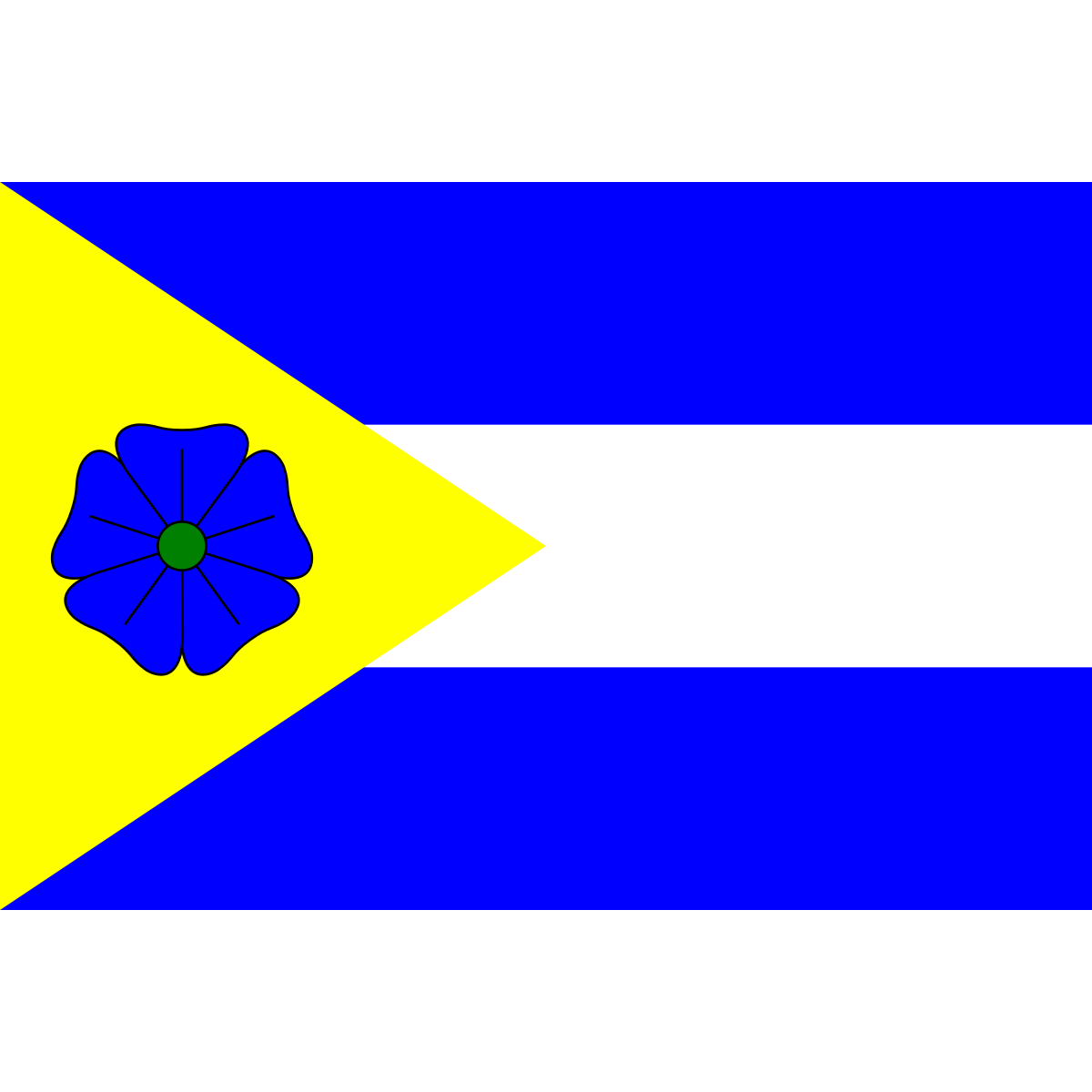
Coat of arms & FlagThe official symbols of Adršpach - its coat of arms and flag - appear on government documents and are used across the Czech Republic.


City Rankings
Compared to 10309 cities nationwideAdršpach ranks 6688th by population (of 10309), 2653th by area (of 10530), 5873th by buildings (of 10641) among Czech cities.
Frequently Asked Questions about Adršpach
Quick answers for this placeWhich region is Adršpach in?
Adršpach is located in the region. Hradec Králové Region, district AD MEP Broumov.
What is the postcode (PSC) of Adršpach?
Adršpach has 5 postcode zones: 54957, 54213, 54211, 58-420, 54952. Czech postcodes are 5 digits.
How many people live in Adršpach?
Adršpach has a population of 130 residents.
What is the elevation of Adršpach?
Elevation data for Adršpach is not currently available.
Which district is Adršpach in?
Adršpach is located in the AD MEP Broumov district, in the Hradec Králové Region.
Is Adršpach a regional or district capital?
Yes, Adršpach serves as the capital of Adršpach (municipality) .
Where is the nearest post office to Adršpach?
Adršpach has 6 postal facilities, including 1 post office, 4 post boxes, and 1 parcel locker. The nearest post office is Horní Adršpach.
What public transport stops are near Adršpach?
There are 2 stops public transport stops near Adršpach. The closest stops include Dolní Adršpach, skály, stop-10139275965.